
Marengo topographic map
Click on the map to display elevation.
About this map
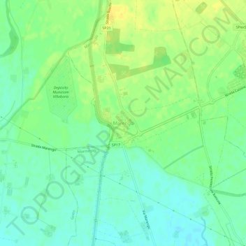
Name: Marengo topographic map, elevation, terrain.
Location: Marengo, Marmirolo, Mantua, Lombardy, 46045, Italy (45.23825 10.71535 45.27825 10.75535)
Average elevation: 39 m
Minimum elevation: 29 m
Maximum elevation: 51 m
Other topographic maps
Click on a map to view its topography, its elevation and its terrain.
Solferino
The municipal territory, extending for 13.08 km2, is part of the Morainic amphitheatre of Lake Garda, located a few kilometres to the north. The altitude at the town hall is 124 m above sea level. Not far away also lies the province of Verona, with the towns of Peschiera del Garda and Valeggio sul Mincio, only…
Average elevation: 119 m