Geolocate

East Kilbride topographic map

Click on the map to display elevation.

About this map

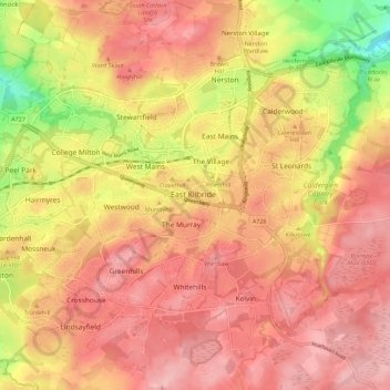
Name: East Kilbride topographic map, elevation, terrain.

Location: East Kilbride, South Lanarkshire, Scotland, United Kingdom (55.73053 -4.24356 55.78940 -4.13212)

Average elevation: 177 m

Minimum elevation: 91 m

Maximum elevation: 221 m

Gear up for your next adventure:

🥾Hiking Boots - Sturdy boots providing ankle support and traction on rugged trails
🧊Portable Cooler - Keep food and drinks cold during outdoor adventures
🧭Orienteering Kit - Tools for map reading and navigation in the wild
🔦UV Flashlight - Detect minerals or specific insects in the dark
🧼Biodegradable Camp Soap - Environmentally friendly cleaning for gear and body

As an Amazon Associate, this site earns from qualifying purchases at no extra cost to you.