
Make a donation
Gear up for your next adventure:
As an Amazon Associate, this site earns from qualifying purchases at no extra cost to you.
New Lisbon topographic map
Click on the map to display elevation.
Make a donation
Gear up for your next adventure:
As an Amazon Associate, this site earns from qualifying purchases at no extra cost to you.
About this map
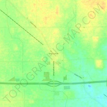
Name: New Lisbon topographic map, elevation, terrain.
Location: New Lisbon, Henry County, Indiana, 47366, United States (39.84338 -85.28302 39.88338 -85.24302)
Average elevation: 332 m
Minimum elevation: 317 m
Maximum elevation: 344 m
Make a donation
Gear up for your next adventure:
As an Amazon Associate, this site earns from qualifying purchases at no extra cost to you.
Other topographic maps
Click on a map to view its topography, its elevation and its terrain.
Mount Summit
United States > Indiana > Henry County
Mount Summit was platted in 1854. It was named for its lofty elevation. A post office has been in operation in Mount Summit since 1869.
Average elevation: 330 m
Make a donation
Gear up for your next adventure:
As an Amazon Associate, this site earns from qualifying purchases at no extra cost to you.
Make a donation
Gear up for your next adventure:
As an Amazon Associate, this site earns from qualifying purchases at no extra cost to you.