
Corinne topographic map
Click on the map to display elevation.
About this map
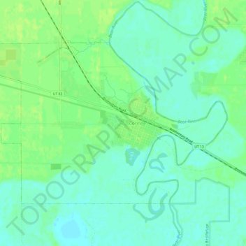
Name: Corinne topographic map, elevation, terrain.
Location: Corinne, Box Elder County, Utah, United States (41.53507 -112.14895 41.56461 -112.08881)
Average elevation: 1,288 m
Minimum elevation: 1,281 m
Maximum elevation: 1,295 m
Other topographic maps
Click on a map to view its topography, its elevation and its terrain.
Hansel Mountains
United States > Utah > Box Elder County
Located in northeast Box Elder County, the southwest of the range abuts the Locomotive Springs State Wildlife Management Area; the northeast end of the range ends at a lower elevation divide between the North Hansel Mountains that lie on the Utah-Idaho border. Snowville lies on Deep Creek in the Sage Valley to…
Average elevation: 1,472 m