
Ludvika kommun topographic map
Interactive map
Click on the map to display elevation.
About this map
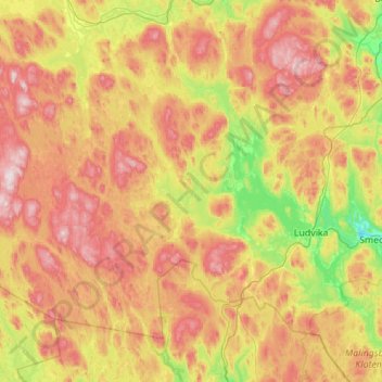
Name: Ludvika kommun topographic map, elevation, terrain.
Location: Ludvika kommun, Dalarna County, Sweden (59.99729 14.14329 60.41961 15.24544)
Average elevation: 283 m
Minimum elevation: 105 m
Maximum elevation: 533 m
Other topographic maps
Click on a map to view its topography, its elevation and its terrain.