Geolocate

Lundbom topographic map

Click on the map to display elevation.

About this map

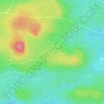
Name: Lundbom topographic map, elevation, terrain.

Location: Lundbom, Falu kommun, Dalarna County, Sweden (60.56987 15.92166 60.57139 15.92613)

Average elevation: 254 m

Minimum elevation: 218 m

Maximum elevation: 319 m

Other topographic maps

Click on a map to view its topography, its elevation and its terrain.

Västanvik

Sweden > Dalarna County

Average elevation: 226 m

Ludvika kommun

Sweden > Dalarna County

Average elevation: 283 m

Borlänge

Sweden > Dalarna County

Average elevation: 160 m

Gear up for your next adventure:

🥾Lightweight Hiking Shoes - Comfortable shoes for day hikes
💧Collapsible Water Bottle - Space-saving water bottle for outdoor activities
🧼Biodegradable Camp Soap - Environmentally friendly cleaning for gear and body
🛰️Satellite Messenger - Emergency communication for areas with no cell service
🧥Waterproof Pants - Keep dry during rainy hiking conditions

As an Amazon Associate, this site earns from qualifying purchases at no extra cost to you.