Geolocate

Cicognolo topographic map

Click on the map to display elevation.

About this map

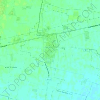
Name: Cicognolo topographic map, elevation, terrain.

Location: Cicognolo, Cremona, Lombardy, Italy (45.14750 10.17890 45.17945 10.22807)

Average elevation: 42 m

Minimum elevation: 37 m

Maximum elevation: 47 m

Other topographic maps

Click on a map to view its topography, its elevation and its terrain.

Varolino

Italy > Lombardy > Cremona > Cremona > San Felice

Average elevation: 45 m

Piadena

Italy > Lombardy > Cremona

Average elevation: 31 m

Gear up for your next adventure:

🥾Hiking Shorts - Breathable shorts suitable for summer hikes
🩹Compact First Aid Kit - Pre-packed essentials for common trail injuries
🥾Lightweight Hiking Boots - Boots for comfort and mobility on long hikes
🦶Hiking Shoe Insoles - Added support for high arches and long days on feet
🧦Merino Wool Socks - Moisture-wicking comfort for long-distance hiking

As an Amazon Associate, this site earns from qualifying purchases at no extra cost to you.