Geolocate

Varolino topographic map

Click on the map to display elevation.

About this map

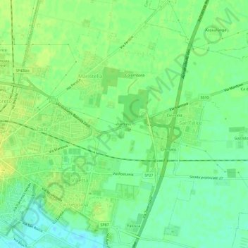
Name: Varolino topographic map, elevation, terrain.

Location: Varolino, San Felice, Cremona, Lombardy, 26100, Italy (45.12277 10.04060 45.16277 10.08060)

Average elevation: 45 m

Minimum elevation: 35 m

Maximum elevation: 52 m

Gear up for your next adventure:

🧦Outdoor Socks - Durable socks designed for hiking and outdoor sports
🔪Outdoor Multitool - Versatile tool for repairs and food prep in the wild
🧥Thermal Layer - Insulating layer for cold outdoor conditions
🧴Bear Spray Holster - Quick-access carry for essential Canadian wilderness safety
🥾Trail Running Shoes - Lightweight and durable shoes for trail running

As an Amazon Associate, this site earns from qualifying purchases at no extra cost to you.