
Province of Maynas topographic map
Interactive map
Click on the map to display elevation.
About this map
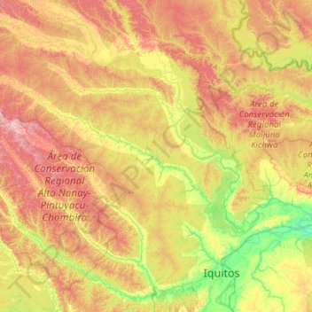
Name: Province of Maynas topographic map, elevation, terrain.
Location: Province of Maynas, Loreto, Peru (-4.00000 -74.66667 -2.00000 -72.66667)
Average elevation: 128 m
Minimum elevation: 75 m
Maximum elevation: 229 m
Other topographic maps
Click on a map to view its topography, its elevation and its terrain.