
Río Zungaro topographic map
Interactive map
Click on the map to display elevation.
About this map
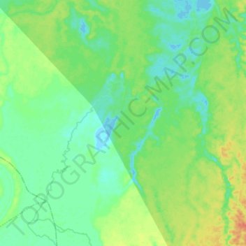
Name: Río Zungaro topographic map, elevation, terrain.
Location: Río Zungaro, Province of Requena, Loreto, Peru (-6.75873 -74.91301 -6.61510 -74.80385)
Average elevation: 122 m
Minimum elevation: 110 m
Maximum elevation: 146 m
Other topographic maps
Click on a map to view its topography, its elevation and its terrain.
Santa Fe
Peru > Loreto > Emilio San Martín
Santa Fe, Emilio San Martín, Province of Requena, Loreto, Peru
Average elevation: 103 m
Province of Maynas
Province of Maynas, Mazán, Maynas, Loreto, Peru
Average elevation: 107 m