Geolocate

Ollanta topographic map

Click on the map to display elevation.

About this map

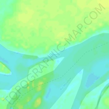
Name: Ollanta topographic map, elevation, terrain.

Location: Ollanta, Urarinas, Province of Loreto, Loreto, Peru (-4.55679 -74.78450 -4.51679 -74.74450)

Average elevation: 105 m

Minimum elevation: 97 m

Maximum elevation: 112 m

Gear up for your next adventure:

🛌Insulated Sleeping Pad - Critical thermal barrier between you and the cold ground
🔋Lithium AA Batteries - Long-lasting power that performs in extreme cold
🥾Lightweight Hiking Boots - Boots for comfort and mobility on long hikes
🧼Biodegradable Camp Soap - Environmentally friendly cleaning for gear and body
💧Collapsible Water Bottle - Space-saving water bottle for outdoor activities

As an Amazon Associate, this site earns from qualifying purchases at no extra cost to you.