Geolocate

Powell topographic map

Click on the map to display elevation.

About this map

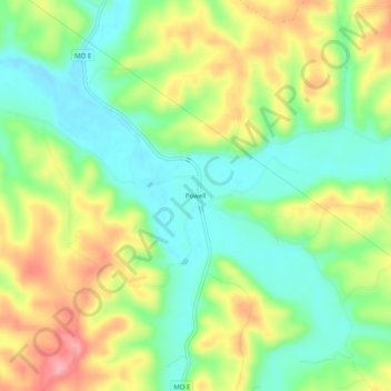
Name: Powell topographic map, elevation, terrain.

Location: Powell, McDonald County, Missouri, 65730, United States (36.60285 -94.20076 36.64285 -94.16076)

Average elevation: 341 m

Minimum elevation: 293 m

Maximum elevation: 408 m

Other topographic maps

Click on a map to view its topography, its elevation and its terrain.

Noel

United States > Missouri > McDonald County

Average elevation: 287 m

Pineville

United States > Missouri > McDonald County

Average elevation: 314 m

Goodman

United States > Missouri > McDonald County

Average elevation: 372 m

Gear up for your next adventure:

💧Hydration Bladder - Hands-free hydration solution for long treks
Lightweight Camping Tent - Portable shelter optimized for Canadian backcountry camping
🗺️Topographic Maps - Detailed maps to explore trails, mountains, and wilderness areas
🧥Packable Rain Jacket - Breathable waterproof layer for unpredictable weather
🧥Ultralight Puffy Jacket - Maximum warmth that packs down to the size of an orange

As an Amazon Associate, this site earns from qualifying purchases at no extra cost to you.