Geolocate

South Ardo topographic map

Click on the map to display elevation.

About this map

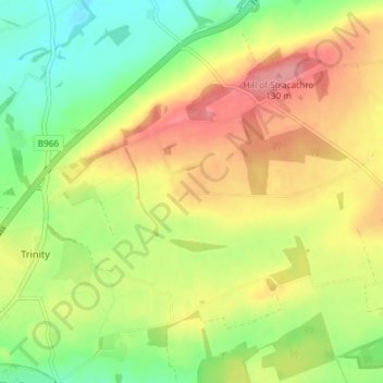
Name: South Ardo topographic map, elevation, terrain.

Location: South Ardo, Brechin, Angus, Scotland, DD9 7PU, United Kingdom (56.73521 -2.63679 56.77521 -2.59679)

Average elevation: 86 m

Minimum elevation: 44 m

Maximum elevation: 131 m

Gear up for your next adventure:

🛌Down Sleeping Bag - Superior warmth-to-weight ratio for cold nights
🐕Hiking Dog Pack - Let your canine companion carry their own water and food
🧥Waterproof Jacket - Lightweight rain jackets for hiking and outdoor activities
🛶Waterproof Dry Bags - Keep electronics and clothes dry during river crossings
🛏️Camping Sleeping Mat - Comfortable mats for sleeping outdoors

As an Amazon Associate, this site earns from qualifying purchases at no extra cost to you.