Geolocate

Bonnaud topographic map

Click on the map to display elevation.

About this map
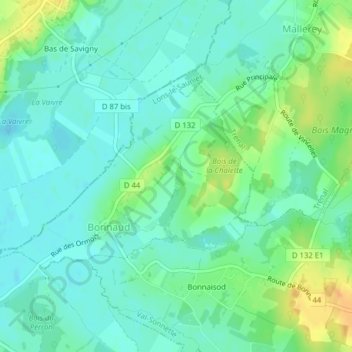
Name: Bonnaud topographic map, elevation, terrain.

Location: Bonnaud, Val-Sonnette, Lons-le-Saunier, Jura, Bourgogne-Franche-Comté, France métropolitaine, 39190, France (46.61367 5.41400 46.62790 5.44323)

Average elevation: 202 m

Minimum elevation: 191 m

Maximum elevation: 227 m

Other topographic maps

Click on a map to view its topography, its elevation and its terrain.

Grusse

France > Bourgogne-Franche-Comté > Jura > Val-Sonnette

Average elevation: 382 m

La Doye

France > Bourgogne-Franche-Comté > Jura > Val-Sonnette

Average elevation: 402 m

Vercia

France > Bourgogne-Franche-Comté > Jura > Val-Sonnette

Average elevation: 269 m

Paisia

France > Bourgogne-Franche-Comté > Jura > Val-Sonnette > Vercia

Average elevation: 252 m

Gear up for your next adventure:

💧Collapsible Water Bottle - Space-saving water bottle for outdoor activities
🚲Heavy Duty Bike Lock - Secure your bike at the trailhead or during stops
🥾Durable Hiking Shoes - Long-lasting shoes for frequent hiking
🚑Survival Whistle - Signal for help across long distances in mountains
🥾Approach Boots - Comfortable boots for hiking and climbing approaches

As an Amazon Associate, this site earns from qualifying purchases at no extra cost to you.