Geolocate

Sargent topographic map

Click on the map to display elevation.

About this map

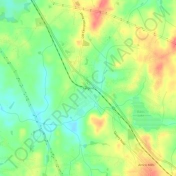
Name: Sargent topographic map, elevation, terrain.

Location: Sargent, Coweta County, Georgia, 30275, United States (33.41234 -84.88938 33.45234 -84.84938)

Average elevation: 247 m

Minimum elevation: 216 m

Maximum elevation: 285 m

Other topographic maps

Click on a map to view its topography, its elevation and its terrain.

Newnan

United States > Georgia > Coweta County

Average elevation: 272 m

Senoia

United States > Georgia > Coweta County

Average elevation: 253 m

Newnan

United States > Georgia > Coweta County

Average elevation: 272 m

Grantville

United States > Georgia > Coweta County

Average elevation: 245 m

Gear up for your next adventure:

🥾Mountaineering Boots - Supportive boots for climbing and high-altitude hiking
❄️Traction Ice Cleats - Slip-on spikes for icy trails and winter hiking
Lightweight Camping Tent - Portable shelter optimized for Canadian backcountry camping
🛶Kayak Accessories - Essential gear for safe and fun kayaking adventures
🧶550 Survival Paracord - Versatile utility cord for emergency repairs and rigging

As an Amazon Associate, this site earns from qualifying purchases at no extra cost to you.