Geolocate

Eaglesham topographic map

Click on the map to display elevation.

About this map

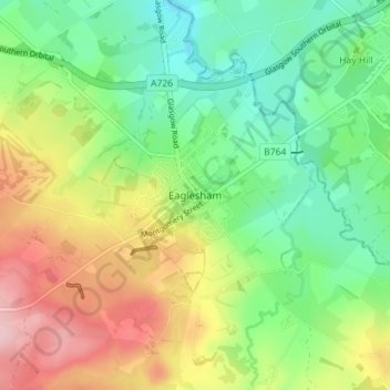
Name: Eaglesham topographic map, elevation, terrain.

Location: Eaglesham, East Renfrewshire, Scotland, G76 0LG, United Kingdom (55.72073 -4.29385 55.76073 -4.25385)

Average elevation: 172 m

Minimum elevation: 104 m

Maximum elevation: 278 m

Other topographic maps

Click on a map to view its topography, its elevation and its terrain.

Gear up for your next adventure:

🧦Outdoor Socks - Durable socks designed for hiking and outdoor sports
🧢Outdoor Cap - Protective cap for sun and rain during hikes
🧥Fleece Jacket - Warm and lightweight jacket for layering
🎒Fully Waterproof Backpack - Total protection for photography gear and electronics
🥾Waterproof Hiking Shoes - Durable shoes for wet and rugged trails

As an Amazon Associate, this site earns from qualifying purchases at no extra cost to you.