Geolocate

Padanaram topographic map

Click on the map to display elevation.

About this map

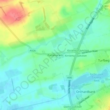
Name: Padanaram topographic map, elevation, terrain.

Location: Padanaram, Forfar, Angus, Scotland, DD8 1PT, United Kingdom (56.63185 -2.95481 56.67185 -2.91481)

Average elevation: 68 m

Minimum elevation: 51 m

Maximum elevation: 114 m

Other topographic maps

Click on a map to view its topography, its elevation and its terrain.

Sand Martins

United Kingdom > Scotland > Angus > Forfar

Average elevation: 97 m

Glamis Castle

United Kingdom > Scotland > Angus > Forfar > Deanbank

Average elevation: 69 m

Gear up for your next adventure:

🥫Freeze-Dried Meals - Lightweight, high-calorie nutrition for multi-day treks
🔦LED Flashlight - Powerful and long-lasting flashlight for camping and emergencies
🛌Insulated Sleeping Pad - Critical thermal barrier between you and the cold ground
🔋Emergency Crank Radio - Weather alerts and power without needing batteries
🥾Trekking Poles - Adjustable trekking poles to reduce knee stress and improve stability

As an Amazon Associate, this site earns from qualifying purchases at no extra cost to you.