Geolocate

Byron topographic map

Click on the map to display elevation.

About this map
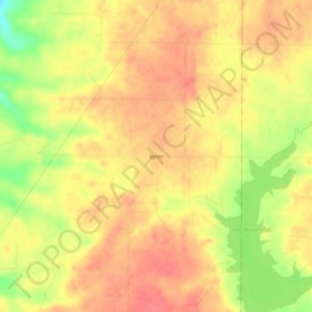
Name: Byron topographic map, elevation, terrain.

Location: Byron, Parke County, Indiana, United States (39.88365 -87.12557 39.92365 -87.08557)

Average elevation: 226 m

Minimum elevation: 186 m

Maximum elevation: 245 m

Gear up for your next adventure:

🎒Hiking Daypack - Lightweight and durable backpacks for day trips and excursions
🚲Heavy Duty Bike Lock - Secure your bike at the trailhead or during stops
🧦Outdoor Socks - Durable socks designed for hiking and outdoor sports
🥾Mountaineering Boots - Supportive boots for climbing and high-altitude hiking
🧥Softshell Hiking Jacket - The perfect balance of wind protection and breathability

As an Amazon Associate, this site earns from qualifying purchases at no extra cost to you.