
Roselea Natural Area topographic map
Interactive map
Click on the map to display elevation.
About this map
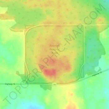
Name: Roselea Natural Area topographic map, elevation, terrain.
Average elevation: 682 m
Minimum elevation: 655 m
Maximum elevation: 705 m
Other topographic maps
Click on a map to view its topography, its elevation and its terrain.
Village of Alberta Beach
Canada > Alberta > Division No. 13
Village of Alberta Beach, Division No. 13, Alberta, T0E 0A0, Canada
Average elevation: 728 m
Village of Clyde
Canada > Alberta > Division No. 13
Village of Clyde, Division No. 13, Alberta, Canada
Average elevation: 651 m