
Sungai Sampit topographic map
Interactive map
Click on the map to display elevation.
About this map
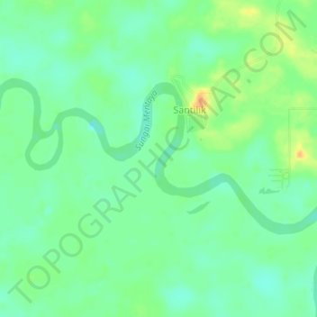
Name: Sungai Sampit topographic map, elevation, terrain.
Location: Sungai Sampit, Kalimantan central, Indonésie (-2.00701 112.55487 -1.99035 112.59154)
Average elevation: 15 m
Minimum elevation: 2 m
Maximum elevation: 37 m
Other topographic maps
Click on a map to view its topography, its elevation and its terrain.
Melata
Indonésie > Kalimantan central > Lamandau
Melata, Lamandau, Kalimantan central, Kalimantan, Indonésie
Average elevation: 28 m
Pasir Panjang
Indonésie > Kalimantan central
Pasir Panjang, Kalimantan central, 74181, Indonésie
Average elevation: 17 m
Kalimantan central
Indonésie > Kalimantan central
Kalimantan central, Indonésie
Average elevation: 100 m