
Melata topographic map
Interactive map
Click on the map to display elevation.
About this map
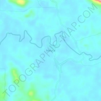
Name: Melata topographic map, elevation, terrain.
Location: Melata, Lamandau, Kalimantan central, Kalimantan, Indonésie (-2.00190 111.60855 -1.96190 111.64855)
Average elevation: 28 m
Minimum elevation: 13 m
Maximum elevation: 206 m