Geolocate

Cluny topographic map

Click on the map to display elevation.

About this map

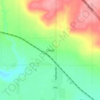
Name: Cluny topographic map, elevation, terrain.

Location: Cluny, Wheatland County, Alberta, T0J 0S0, Canada (50.82029 -112.89038 50.86029 -112.85038)

Average elevation: 891 m

Minimum elevation: 845 m

Maximum elevation: 963 m

Wheatland County trails, hiking, mountain biking, running and outdoor activities

Other topographic maps

Click on a map to view its topography, its elevation and its terrain.

Redland

Canada > Alberta > Wheatland County

Average elevation: 823 m

Stobart Lake

Canada > Alberta > Wheatland County

Average elevation: 908 m

Siksika Nation

Canada > Alberta > Wheatland County

Average elevation: 922 m

Gear up for your next adventure:

Camping Groundsheet - Protect your tent from moisture and dirt
🥾Light Hiking Boots - Lightweight and comfortable boots for day hikes
🕶️Polarized Sunglasses - Protect your eyes with durable polarized lenses
🧥Waterproof Pants - Keep dry during rainy hiking conditions
Camping Tent - Weather-resistant tents suitable for 2 to 6 people

As an Amazon Associate, this site earns from qualifying purchases at no extra cost to you.