Geolocate

Santa Claus topographic map

Click on the map to display elevation.

About this map
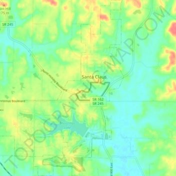
Name: Santa Claus topographic map, elevation, terrain.

Location: Santa Claus, Spencer County, Indiana, 47579, United States (38.08941 -86.97974 38.15691 -86.89805)

Average elevation: 144 m

Minimum elevation: 121 m

Maximum elevation: 185 m

Gear up for your next adventure:

⛺Backpacking Tent - Lightweight tent for long-distance hiking trips
🧦Merino Wool Socks - Moisture-wicking comfort for long-distance hiking
💧Hydration Bladder - Hands-free hydration solution for long treks
🧥Waterproof Pants - Keep dry during rainy hiking conditions
🏃Hydration Running Vest - Carry water and maps close to your body for speed

As an Amazon Associate, this site earns from qualifying purchases at no extra cost to you.