Geolocate

Ponnai topographic map

Click on the map to display elevation.

About this map

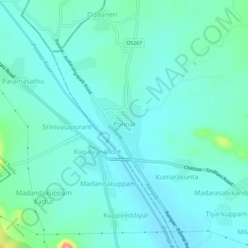
Name: Ponnai topographic map, elevation, terrain.

Location: Ponnai, Wallajah, Ranipet, Tamil Nadu, 632514, India (13.10673 79.23721 13.14673 79.27721)

Average elevation: 242 m

Minimum elevation: 226 m

Maximum elevation: 322 m

Other topographic maps

Click on a map to view its topography, its elevation and its terrain.

Wallajah

India > Tamil Nadu > Wallajah

Average elevation: 179 m

Gear up for your next adventure:

🗺️Topographic Maps - Detailed maps to explore trails, mountains, and wilderness areas
🧴Sunscreen SPF - Broad-spectrum sunscreen for outdoor activities
🥾Mountain Hiking Boots - High-traction boots for rocky terrain
🧣Merino Neck Gaiter - Protects against wind, sun, and cold at high altitudes
🔋Emergency Crank Radio - Weather alerts and power without needing batteries

As an Amazon Associate, this site earns from qualifying purchases at no extra cost to you.