Geolocate

Nether Denton topographic map

Click on the map to display elevation.

About this map

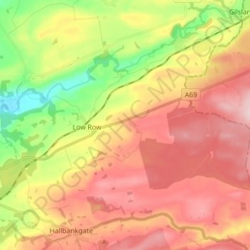
Name: Nether Denton topographic map, elevation, terrain.

Location: Nether Denton, Carlisle, Cumbria, England, United Kingdom (54.94084 -2.69123 54.97870 -2.56764)

Average elevation: 175 m

Minimum elevation: 47 m

Maximum elevation: 284 m

Other topographic maps

Click on a map to view its topography, its elevation and its terrain.

Burgh by Sands

United Kingdom > England > Cumbria > Carlisle

Average elevation: 16 m

Cold Fell

United Kingdom > England > Cumbria > Carlisle

Average elevation: 517 m

River Eden

United Kingdom > England > Cumbria > Carlisle > Great Corby

Average elevation: 52 m

Laversdale

United Kingdom > England > Cumbria > Carlisle > Laversdale

Average elevation: 46 m

Trundley Wood

United Kingdom > England > Cumbria > Carlisle > Hethersgill

Average elevation: 51 m

Carwinley

United Kingdom > England > Cumbria > Carlisle

Average elevation: 57 m

Gear up for your next adventure:

🧊Insulated Water Bottle - Keeps drinks cold in summer and prevents freezing in winter
🛏️Camping Sleeping Mat - Comfortable mats for sleeping outdoors
🧦Merino Wool Socks - Moisture-wicking comfort for long-distance hiking
💡LED Headlamp - Hands-free illumination for night hiking and camping
🧢Outdoor Cap - Protective cap for sun and rain during hikes

As an Amazon Associate, this site earns from qualifying purchases at no extra cost to you.