Geolocate

Menzingen topographic map

Click on the map to display elevation.

Menzingen

The municipality is located on a moraine plateau between the Lorze and Sihl rivers at an elevation of about 800 m (2,600 ft). In 1848 the municipality of Neuheim separated from Menzingen. It consists of the village of Menzingen and a number of hamlets and individual farm houses.

Wikipedia (CC-BY-SA 3.0)

About this map

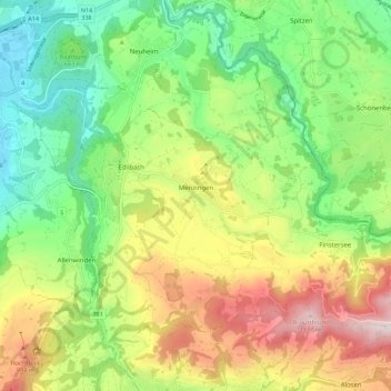
Name: Menzingen topographic map, elevation, terrain.

Location: Menzingen, Zug, 6313, Switzerland (47.14806 8.55440 47.20524 8.66577)

Average elevation: 740 m

Minimum elevation: 443 m

Maximum elevation: 1,195 m

Other topographic maps

Click on a map to view its topography, its elevation and its terrain.

Gottschalkenberg

Switzerland > Zug > Menzingen

Average elevation: 1,005 m

Zugerberg

Switzerland > Zug > Zug > Schönfels

Average elevation: 808 m

Allenwinden

Switzerland > Zug > Baar

Average elevation: 730 m

Morgarten

Switzerland > Zug > Oberägeri

Average elevation: 892 m

Wildspitz

Switzerland > Zug > Unterägeri

Average elevation: 1,266 m

Edlibach

Switzerland > Zug

Average elevation: 693 m

Gear up for your next adventure:

🛌Down Sleeping Bag - Superior warmth-to-weight ratio for cold nights
🥾Waterproof Hiking Boots - Boots keeping your feet dry in wet conditions
🧦Hiking Socks - Moisture-wicking and comfortable socks for long hikes
🍽️Titanium Camping Spork - Ultralight and indestructible eating utensil
🎒Backpack Rain Cover - External shield to keep your entire pack dry

As an Amazon Associate, this site earns from qualifying purchases at no extra cost to you.