Geolocate

Zugerberg topographic map

Click on the map to display elevation.

About this map

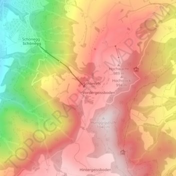
Name: Zugerberg topographic map, elevation, terrain.

Location: Zugerberg, Schönfels, Zug, 6317, Switzerland (47.13376 8.52378 47.15376 8.54378)

Average elevation: 808 m

Minimum elevation: 443 m

Maximum elevation: 1,025 m

Gear up for your next adventure:

💡LED Camping Lantern - Illuminate your campsite with long-lasting lanterns
🧴First Aid Kit - Essential first aid supplies for outdoor emergencies
🎒Backpack Rain Cover - External shield to keep your entire pack dry
🥾Waterproof Hiking Boots - Boots keeping your feet dry in wet conditions
Lightweight Camping Tent - Portable shelter optimized for Canadian backcountry camping

As an Amazon Associate, this site earns from qualifying purchases at no extra cost to you.