Geolocate

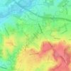
Netley topographic map

Click on the map to display elevation.

About this map
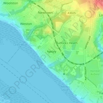
Name: Netley topographic map, elevation, terrain.

Location: Netley, Eastleigh, Hampshire, England, SO31 5JQ, United Kingdom (50.85607 -1.36872 50.89607 -1.32872)

Average elevation: 15 m

Minimum elevation: -2 m

Maximum elevation: 61 m

Other topographic maps

Click on a map to view its topography, its elevation and its terrain.

Eastleigh

United Kingdom > England > Hampshire > Eastleigh

Average elevation: 33 m

Boyatt Wood

United Kingdom > England > Hampshire > Eastleigh > Allbrook

Average elevation: 24 m

West End

United Kingdom > England > Hampshire > Eastleigh > West End

Average elevation: 31 m

Hatch Grange

United Kingdom > England > Hampshire > Eastleigh > West End

Average elevation: 39 m

Allbrook

United Kingdom > England > Hampshire > Eastleigh > Allbrook

Average elevation: 37 m

Gear up for your next adventure:

🧊Insulated Water Bottle - Keeps drinks cold in summer and prevents freezing in winter
🛶Kayak Dry Bag - Waterproof storage for kayaking adventures
🛌Down Sleeping Bag - Superior warmth-to-weight ratio for cold nights
👟Sport Hiking Sandals - Breathable footwear for water crossings and camp rest
🥾Light Hiking Boots - Lightweight and comfortable boots for day hikes

As an Amazon Associate, this site earns from qualifying purchases at no extra cost to you.