
Panlong District topographic map
Click on the map to display elevation.
About this map
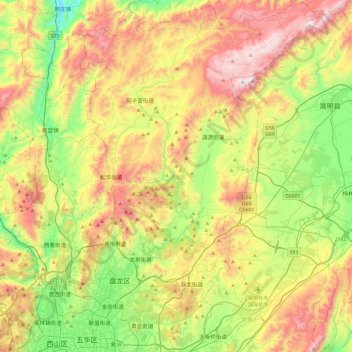
Name: Panlong District topographic map, elevation, terrain.
Location: Panlong District, Kunming, Yunnan, China (25.03038 102.69665 25.46452 103.03241)
Average elevation: 2,137 m
Minimum elevation: 1,645 m
Maximum elevation: 2,807 m
Other topographic maps
Click on a map to view its topography, its elevation and its terrain.