Geolocate

Dell topographic map

Click on the map to display elevation.

About this map

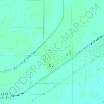
Name: Dell topographic map, elevation, terrain.

Location: Dell, Mississippi County, Arkansas, 72426, United States (35.84985 -90.04885 35.86779 -90.01756)

Average elevation: 73 m

Minimum elevation: 70 m

Maximum elevation: 76 m

Other topographic maps

Click on a map to view its topography, its elevation and its terrain.

Armorel

United States > Arkansas > Mississippi County

Average elevation: 78 m

Half Moon

United States > Arkansas > Mississippi County

Average elevation: 74 m

Gear up for your next adventure:

🎒Fully Waterproof Backpack - Total protection for photography gear and electronics
🦌Outdoor Trail Camera - Monitor wildlife activity near your favorite spots
🧢Beanie Hat - Keep your head warm in cold weather
🧴Outdoor Sunscreen - High SPF protection for high-altitude UV exposure
Tent Footprint - Protect tent floor and increase durability

As an Amazon Associate, this site earns from qualifying purchases at no extra cost to you.