Geolocate

Carson Lake topographic map

Click on the map to display elevation.

About this map

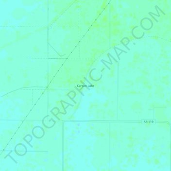
Name: Carson Lake topographic map, elevation, terrain.

Location: Carson Lake, Mississippi County, Arkansas, United States (35.61341 -90.06231 35.65341 -90.02231)

Average elevation: 71 m

Minimum elevation: 68 m

Maximum elevation: 75 m

Other topographic maps

Click on a map to view its topography, its elevation and its terrain.

Manila

United States > Arkansas > Mississippi County

Average elevation: 73 m

Gosnell

United States > Arkansas > Mississippi County

Average elevation: 75 m

Dell

United States > Arkansas > Mississippi County

Average elevation: 73 m

Gear up for your next adventure:

🪑Insulated Seat Pad - Protect your seat from cold rocks and wet logs
💡LED Headlamp - Hands-free illumination for night hiking and camping
🦶Anti-Blister Balm - Prevents friction and hotspots during long ascents
🧥Ultralight Puffy Jacket - Maximum warmth that packs down to the size of an orange
🧥Softshell Hiking Jacket - The perfect balance of wind protection and breathability

As an Amazon Associate, this site earns from qualifying purchases at no extra cost to you.