Geolocate

Half Moon topographic map

Click on the map to display elevation.

About this map

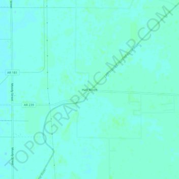
Name: Half Moon topographic map, elevation, terrain.

Location: Half Moon, Mississippi County, Arkansas, United States (35.89202 -90.03453 35.93202 -89.99453)

Average elevation: 74 m

Minimum elevation: 71 m

Maximum elevation: 76 m

Other topographic maps

Click on a map to view its topography, its elevation and its terrain.

Gosnell

United States > Arkansas > Mississippi County

Average elevation: 75 m

Dell

United States > Arkansas > Mississippi County

Average elevation: 73 m

Manila

United States > Arkansas > Mississippi County

Average elevation: 73 m

Gear up for your next adventure:

🔋Solar Power Bank - Keep your GPS and devices charged during long outdoor trips
Camping Essentials - All-in-one gear for a comfortable camping trip
👖Convertible Hiking Pants - Zip-off legs to adapt to changing weather conditions
🧢Outdoor Cap - Protective cap for sun and rain during hikes
💧Filtered Water Bottle - Safe drinking water on the go

As an Amazon Associate, this site earns from qualifying purchases at no extra cost to you.