
Chorley topographic map
Click on the map to display elevation.
About this map
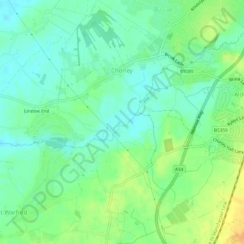
Name: Chorley topographic map, elevation, terrain.
Location: Chorley, Cheshire East, England, United Kingdom (53.28987 -2.27380 53.31562 -2.23953)
Average elevation: 73 m
Minimum elevation: 61 m
Maximum elevation: 92 m
Other topographic maps
Click on a map to view its topography, its elevation and its terrain.
Whirley Grove
United Kingdom > England > Cheshire East > Macclesfield > Whirley Grove
Average elevation: 154 m
Peckforton Moss
United Kingdom > England > Cheshire East > Bulkeley > Peckforton
Average elevation: 100 m
Shining Tor
United Kingdom > England > Cheshire East
Shining Tor is the highest hill in Cheshire, England. The summit has an elevation of 559 m (1,834 ft) above sea level. It is in the Peak District, between the towns of Macclesfield in Cheshire and Buxton in Derbyshire, and is on the administrative boundary between Derbyshire and Cheshire East. The hill is at…
Average elevation: 440 m
Higher Poynton
United Kingdom > England > Cheshire East > Poynton > Higher Poynton
Average elevation: 157 m