Geolocate

Isolated topographic map

Click on the map to display elevation.

About this map
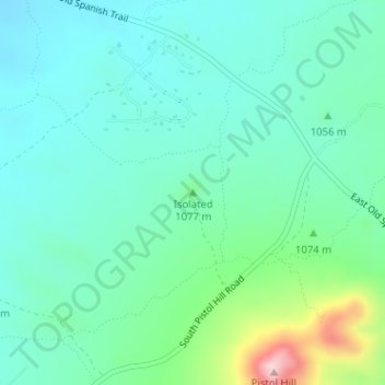
Name: Isolated topographic map, elevation, terrain.

Location: Isolated, Pima County, Arizona, United States (32.07463 -110.65853 32.07473 -110.65843)

Average elevation: 1,052 m

Minimum elevation: 994 m

Maximum elevation: 1,255 m

Gear up for your next adventure:

🧤Insulated Winter Gloves - Heavy-duty protection for sub-zero Canadian adventures
🧼Travel Hand Sanitizer - Keep hands clean when water is scarce
🩹Compact First Aid Kit - Pre-packed essentials for common trail injuries
🧣Merino Neck Gaiter - Protects against wind, sun, and cold at high altitudes
🧴Outdoor Sunscreen - High SPF protection for high-altitude UV exposure

As an Amazon Associate, this site earns from qualifying purchases at no extra cost to you.