Geolocate

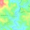
Olive Grove topographic map

Click on the map to display elevation.

About this map

Name: Olive Grove topographic map, elevation, terrain.

Location: Olive Grove, Cleveland County, North Carolina, 28020, United States (35.52319 -81.60370 35.56319 -81.56370)

Average elevation: 370 m

Minimum elevation: 310 m

Maximum elevation: 490 m

Other topographic maps

Click on a map to view its topography, its elevation and its terrain.
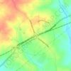
Waco

United States > North Carolina > Cleveland County

Average elevation: 276 m

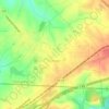
Grover

United States > North Carolina > Cleveland County

Average elevation: 254 m

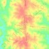
Shelby

United States > North Carolina > Cleveland County

Average elevation: 248 m

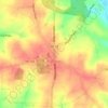
Shelby

United States > North Carolina > Cleveland County

Average elevation: 248 m

Gear up for your next adventure:

🧴Bear Spray Holster - Quick-access carry for essential Canadian wilderness safety
⛺Tent Footprint - Protect tent floor and increase durability
🧢Outdoor Cap - Protective cap for sun and rain during hikes
🌡️Emergency Mylar Blankets - Compact thermal protection for unexpected nights outdoors
🧥Softshell Hiking Jacket - The perfect balance of wind protection and breathability

As an Amazon Associate, this site earns from qualifying purchases at no extra cost to you.