Geolocate

Kilmahog topographic map

Click on the map to display elevation.

About this map

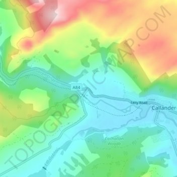
Name: Kilmahog topographic map, elevation, terrain.

Location: Kilmahog, Callander, Stirling, Scotland, FK, United Kingdom (56.22802 -4.26548 56.26802 -4.22548)

Average elevation: 178 m

Minimum elevation: 66 m

Maximum elevation: 423 m

Gear up for your next adventure:

🧥Thermal Layer - Insulating layer for cold outdoor conditions
🧴Waterproofing Spray - Restore the DWR coating on jackets and tents
🛰️Satellite Messenger - Emergency communication for areas with no cell service
🔥Camping Stove - Portable stoves to cook outdoors with ease
🔦LED Flashlight - Powerful and long-lasting flashlight for camping and emergencies

As an Amazon Associate, this site earns from qualifying purchases at no extra cost to you.