
Amesville topographic map
Click on the map to display elevation.
Amesville
Amesville is situated in the foothills of the Appalachian Mountains, approximately 45 miles south by southeast of the terminal moraine, a topographical feature often associated with the boundaries of glaciers, and is surrounded by wooded hills, narrow valleys, and numerous creeks flanked by lowland pastures and farmland.
About this map
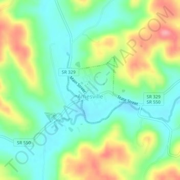
Name: Amesville topographic map, elevation, terrain.
Location: Amesville, Athens County, Ohio, United States (39.39654 -81.96023 39.40641 -81.94863)
Average elevation: 223 m
Minimum elevation: 184 m
Maximum elevation: 289 m
Other topographic maps
Click on a map to view its topography, its elevation and its terrain.