Geolocate

Cappagh topographic map

Click on the map to display elevation.

About this map

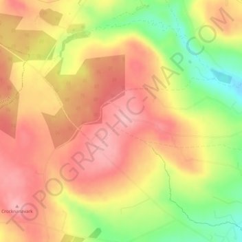
Name: Cappagh topographic map, elevation, terrain.

Location: Cappagh, County Tyrone, Northern Ireland, United Kingdom (54.53665 -6.96218 54.54637 -6.92040)

Average elevation: 234 m

Minimum elevation: 153 m

Maximum elevation: 285 m

Other topographic maps

Click on a map to view its topography, its elevation and its terrain.

Coagh

United Kingdom > Northern Ireland > County Tyrone

Average elevation: 43 m

Clady

United Kingdom > Northern Ireland > County Tyrone

Average elevation: 46 m

Eglish

United Kingdom > Northern Ireland > County Tyrone

Average elevation: 195 m

Craig

United Kingdom > Northern Ireland > County Tyrone

Average elevation: 231 m

Gear up for your next adventure:

🧥Thermal Layer - Insulating layer for cold outdoor conditions
Lightweight Backpacking Tent - Compact tent for efficient hiking trips
🚲Handlebar Phone Mount - View topographic-map.com live while cycling
🎒Hiking Daypack - Lightweight and durable backpacks for day trips and excursions
🧦Crew Hiking Socks - Comfortable socks for long-distance hikes

As an Amazon Associate, this site earns from qualifying purchases at no extra cost to you.