
Elk Island National Park topographic map
Interactive map
Click on the map to display elevation.
About this map
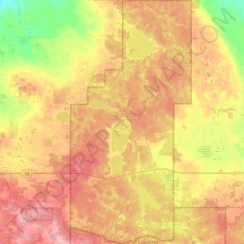
Name: Elk Island National Park topographic map, elevation, terrain.
Average elevation: 719 m
Minimum elevation: 655 m
Maximum elevation: 774 m
Other topographic maps
Click on a map to view its topography, its elevation and its terrain.
Fort Saskatchewan
Canada > Alberta > Fort Saskatchewan
Fort Saskatchewan, Alberta, T8L 1Y8, Canada
Average elevation: 662 m