Geolocate

Fort Saskatchewan topographic map

Click on the map to display elevation.

About this map

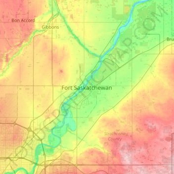
Name: Fort Saskatchewan topographic map, elevation, terrain.

Location: Fort Saskatchewan, Alberta, T8L 1Y8, Canada (53.55297 -113.37411 53.87297 -113.05411)

Average elevation: 662 m

Minimum elevation: 591 m

Maximum elevation: 759 m

Alberta trails, hiking, mountain biking, running and outdoor activities

Other topographic maps

Click on a map to view its topography, its elevation and its terrain.

Gear up for your next adventure:

🧴First Aid Kit - Essential first aid supplies for outdoor emergencies
🌡️Emergency Mylar Blankets - Compact thermal protection for unexpected nights outdoors
Lightweight Backpacking Tent - Compact tent for efficient hiking trips
Tent Footprint - Protect tent floor and increase durability
🥾Trail Hiking Boots - Supportive boots for rough trails

As an Amazon Associate, this site earns from qualifying purchases at no extra cost to you.