Geolocate

Cooking Lake topographic map

Interactive map

Click on the map to display elevation.

About this map

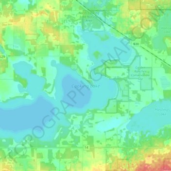
Name: Cooking Lake topographic map, elevation, terrain.

Location: Cooking Lake, Strathcona County, Alberta, Canada (53.39853 -113.13058 53.47187 -112.94798)

Average elevation: 745 m

Minimum elevation: 732 m

Maximum elevation: 790 m

Other topographic maps

Click on a map to view its topography, its elevation and its terrain.

Hamlet of Antler Lake

Canada > Alberta > Strathcona County

Hamlet of Antler Lake, Strathcona County, Alberta, Canada

Average elevation: 745 m

Hastings Lake

Canada > Alberta > Strathcona County

Hastings Lake, Strathcona County, Alberta, Canada

Average elevation: 744 m

Hamlet of Josephburg

Canada > Alberta > Strathcona County > Hamlet of Josephburg

Hamlet of Josephburg, Strathcona County, Alberta, T8L 4B8, Canada

Average elevation: 639 m

Ardrossan

Canada > Alberta > Strathcona County

Ardrossan, Strathcona County, Alberta, T8E 2A2, Canada

Average elevation: 710 m