
Aylmer topographic map
Interactive map
Click on the map to display elevation.
About this map
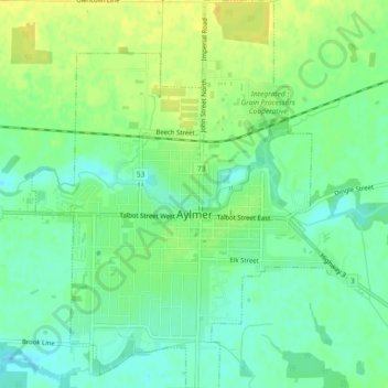
Name: Aylmer topographic map, elevation, terrain.
Location: Aylmer, Elgin County, Ontario, Canada (42.75800 -81.00285 42.79174 -80.96750)
Average elevation: 231 m
Minimum elevation: 220 m
Maximum elevation: 242 m
Elgin County trails, hiking, mountain biking, running and outdoor activities
Other topographic maps
Click on a map to view its topography, its elevation and its terrain.