
Lone Butte topographic map
Interactive map
Click on the map to display elevation.
About this map
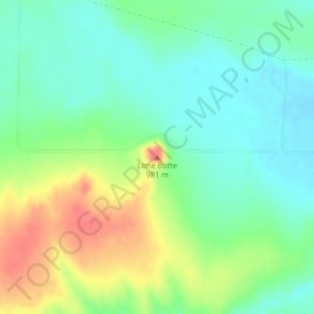
Name: Lone Butte topographic map, elevation, terrain.
Location: Lone Butte, Logan County, Kansas, United States (38.78774 -101.20882 38.78784 -101.20872)
Average elevation: 936 m
Minimum elevation: 914 m
Maximum elevation: 975 m
Other topographic maps
Click on a map to view its topography, its elevation and its terrain.
Russell Springs
United States > Kansas > Logan County
Russell Springs, Logan County, Kansas, United States
Average elevation: 894 m
Twin Butte
United States > Kansas > Logan County
Twin Butte, Logan County, Kansas, United States
Average elevation: 996 m