Geolocate

Twin Butte topographic map

Click on the map to display elevation.

About this map

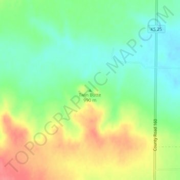
Name: Twin Butte topographic map, elevation, terrain.

Location: Twin Butte, Logan County, Kansas, United States (38.78552 -101.38466 38.78562 -101.38456)

Average elevation: 996 m

Minimum elevation: 967 m

Maximum elevation: 1,036 m

Other topographic maps

Click on a map to view its topography, its elevation and its terrain.

Russell Springs

United States > Kansas > Logan County

Average elevation: 894 m

Gear up for your next adventure:

🐕Hiking Dog Pack - Let your canine companion carry their own water and food
🥾Mountain Trail Shoes - High-traction shoes for mountain trails
🧥Softshell Hiking Jacket - The perfect balance of wind protection and breathability
🦶Hiking Shoe Insoles - Added support for high arches and long days on feet
🔥Emergency Fire Starter - Reliable ignition source for all weather conditions

As an Amazon Associate, this site earns from qualifying purchases at no extra cost to you.