Geolocate

Sarnitsa topographic map

Click on the map to display elevation.

About this map

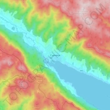
Name: Sarnitsa topographic map, elevation, terrain.

Location: Sarnitsa, Pazardzhik, 4633, Bulgaria (41.69840 23.98416 41.77840 24.06416)

Average elevation: 1,455 m

Minimum elevation: 1,193 m

Maximum elevation: 1,793 m

Gear up for your next adventure:

👟Sport Hiking Sandals - Breathable footwear for water crossings and camp rest
🧭GPS Tracker - Track your location in remote areas safely
🔭Outdoor Binoculars - Lightweight binoculars for birdwatching and hiking
🛏️Sleeping Bag - Warm and compact sleeping bags for outdoor camping
🕶️Polarized Sunglasses - Protect your eyes with durable polarized lenses

As an Amazon Associate, this site earns from qualifying purchases at no extra cost to you.