
Laguna Querococha topographic map
Interactive map
Click on the map to display elevation.
About this map
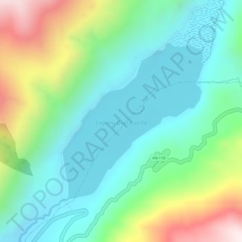
Name: Laguna Querococha topographic map, elevation, terrain.
Location: Laguna Querococha, Cátac, Recuay, Áncash, Perú (-9.72613 -77.33256 -9.70876 -77.31664)
Average elevation: 4,174 m
Minimum elevation: 3,971 m
Maximum elevation: 4,613 m
Other topographic maps
Click on a map to view its topography, its elevation and its terrain.