Geolocate

Bay topographic map

Click on the map to display elevation.

About this map

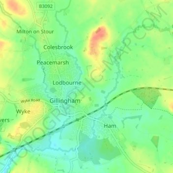
Name: Bay topographic map, elevation, terrain.

Location: Bay, Gillingham, Dorset, England, SP8 4EW, United Kingdom (51.02170 -2.28866 51.06170 -2.24866)

Average elevation: 82 m

Minimum elevation: 65 m

Maximum elevation: 109 m

Gear up for your next adventure:

💧Filtered Water Bottle - Safe drinking water on the go
🩹Compact First Aid Kit - Pre-packed essentials for common trail injuries
🎒Hiking Daypack - Lightweight and durable backpacks for day trips and excursions
🥾Waterproof Trail Shoes - Shoes designed to handle wet terrain
Lightweight Camping Tent - Portable shelter optimized for Canadian backcountry camping

As an Amazon Associate, this site earns from qualifying purchases at no extra cost to you.