
Ederveen topographic map
Interactive map
Click on the map to display elevation.
About this map
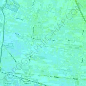
Name: Ederveen topographic map, elevation, terrain.
Location: Ederveen, Ede, Geldern, Niederlande (52.04608 5.55757 52.07215 5.60796)
Average elevation: 9 m
Minimum elevation: 6 m
Maximum elevation: 14 m
Other topographic maps
Click on a map to view its topography, its elevation and its terrain.