
Harskamp topographic map
Interactive map
Click on the map to display elevation.
About this map
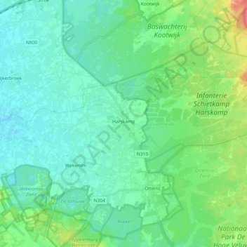
Name: Harskamp topographic map, elevation, terrain.
Location: Harskamp, Ede, Geldern, Niederlande (52.10908 5.68372 52.15223 5.86435)
Average elevation: 31 m
Minimum elevation: 15 m
Maximum elevation: 88 m
Other topographic maps
Click on a map to view its topography, its elevation and its terrain.