
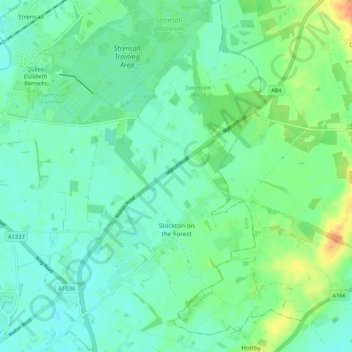
Stockton-on-the-Forest topographic map
Interactive map
Click on the map to display elevation.
Stockton-on-the-Forest topographic map, elevation, terrain
About this map
Name: Stockton-on-the-Forest topographic map, elevation, terrain.
Location: Stockton-on-the-Forest, York, England, United Kingdom (53.97843 -1.02867 54.03956 -0.96684)
Average elevation: 22 m
Minimum elevation: 11 m
Maximum elevation: 47 m
Other topographic maps
Click on a map to view its topography, its elevation and its terrain.